Choosing a beach
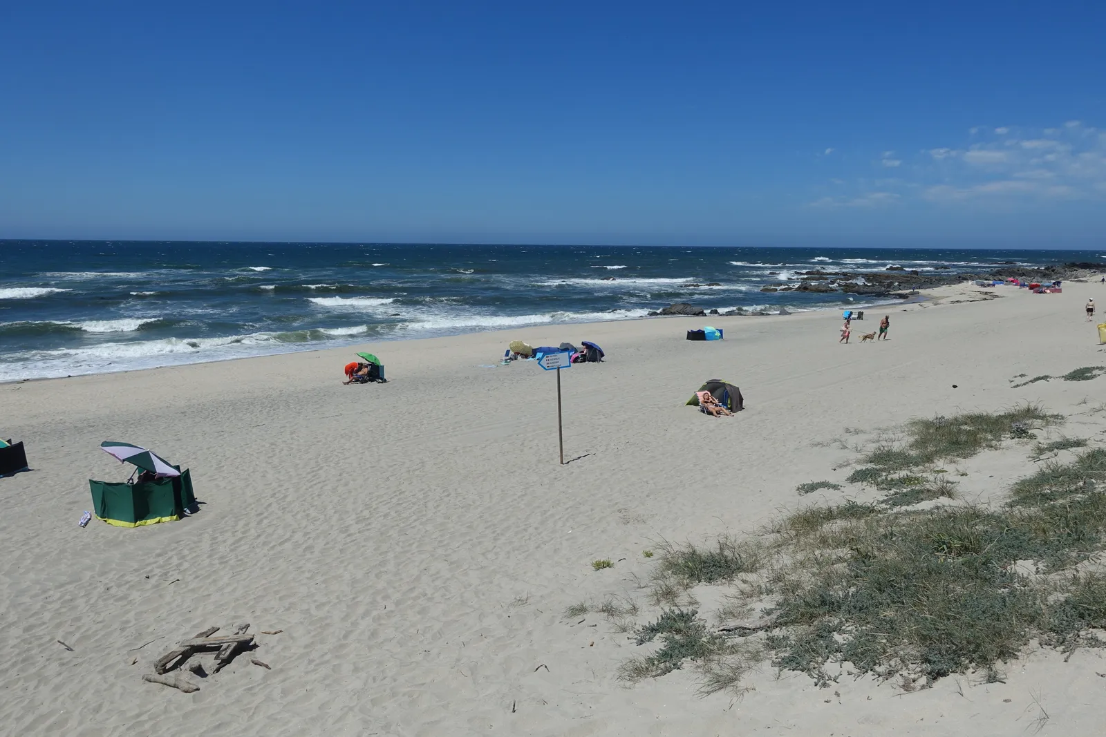
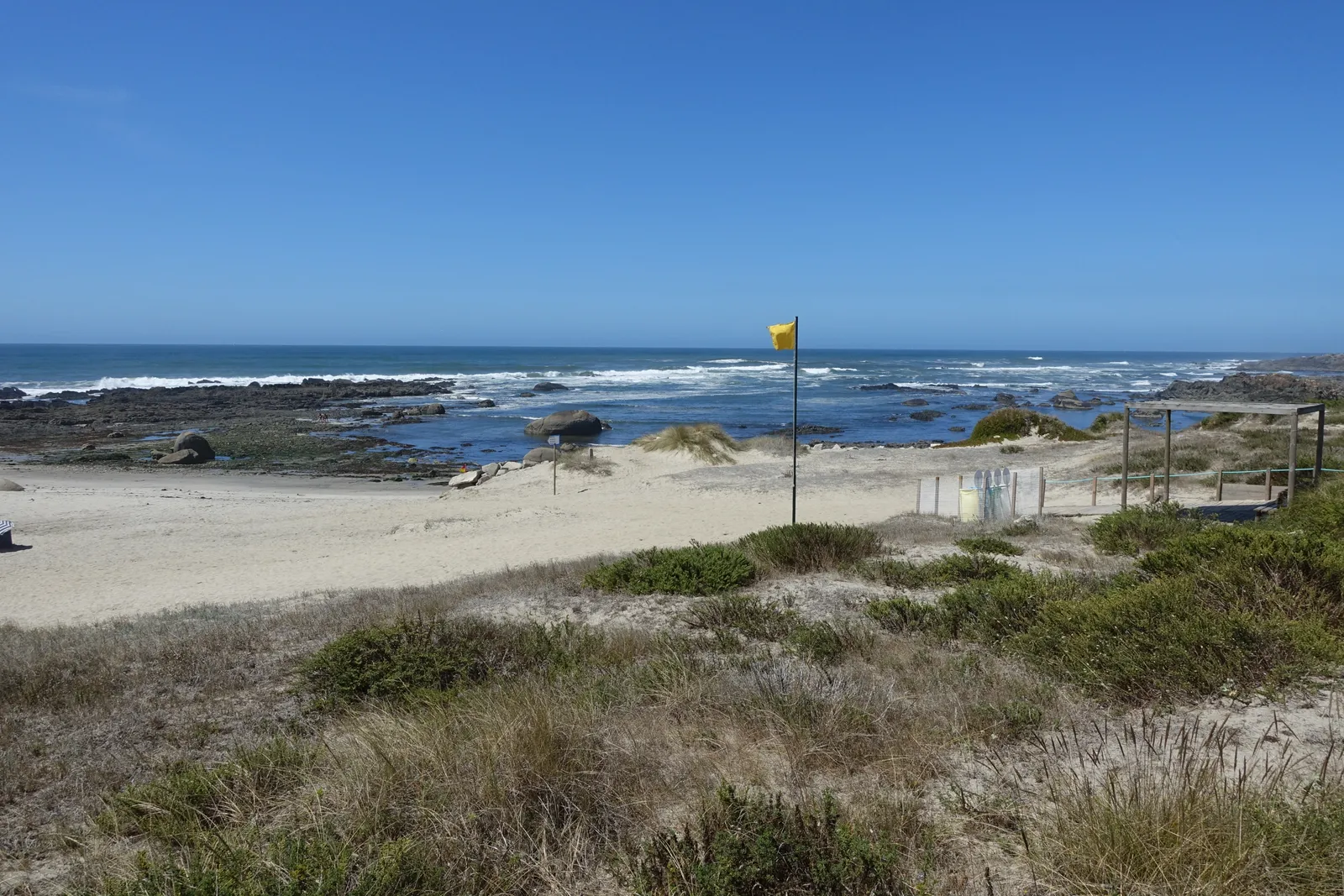
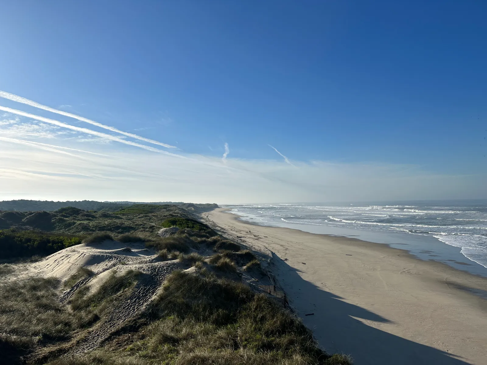
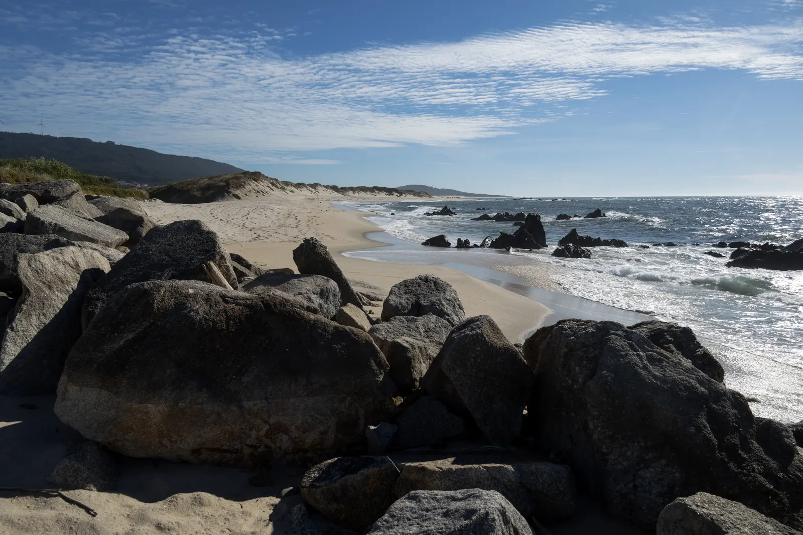
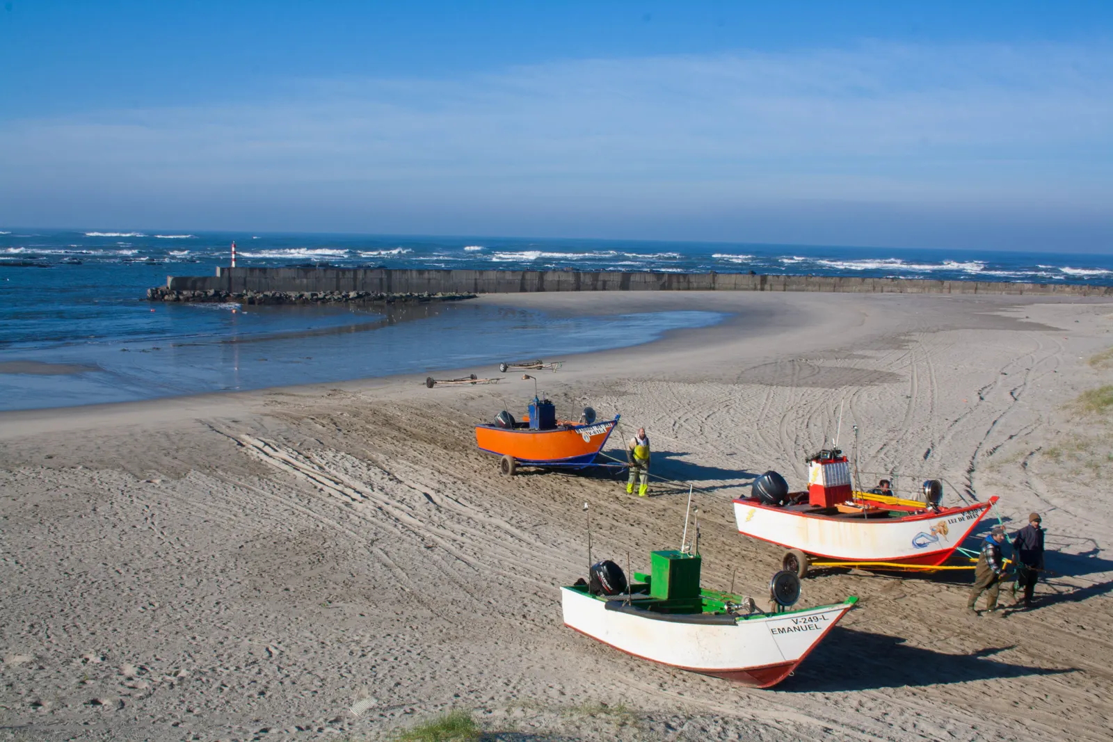
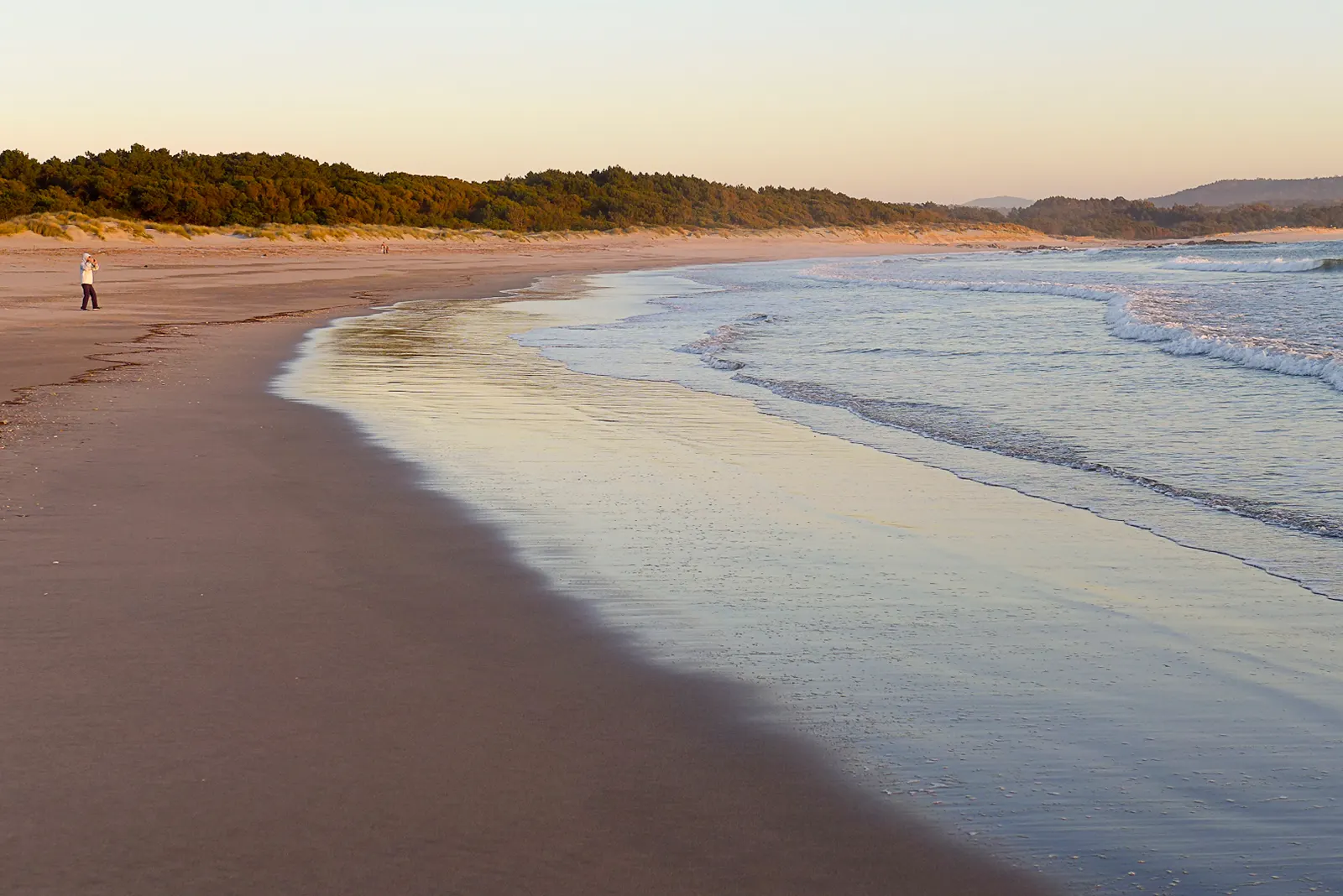
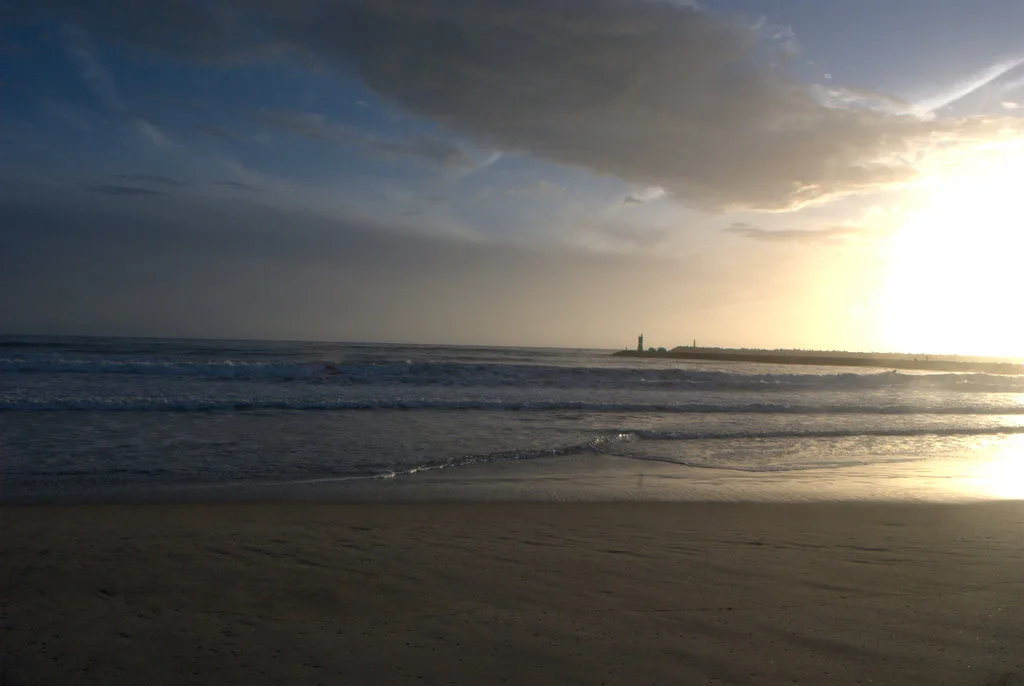
The map covers 16 beaches and coastal sections, north to south, with landscape, activities and access. Data marked as historical does not confirm services this bathing season.
| Your plan | Where to start | What to look at first |
|---|---|---|
| Water activities | Cabedelo and its schools | Level, meeting point, equipment and cancellation |
| North coast walk | Afife, Arda, Paçô and Carreço | Access, forecast and return |
| South bank | Cabedelo, Rodanho, Amorosa and Castelo do Neiva | Transport between sections and facilities |
| Without a car | Cabedelo or Carreço | Lines 10 and 9, stop, walk and last return |
Sea, wind and water temperature
The forecast is regional. Offshore water temperature is not the temperature at each beach, and forecast wind does not show local gusts. When a source fails, the page says so.
None of these beaches is classed here as safe for swimming. On the sand, follow the flags and the lifeguards: good weather does not rule out currents or waves. For an activity, the school assesses conditions.
With children or limited mobility
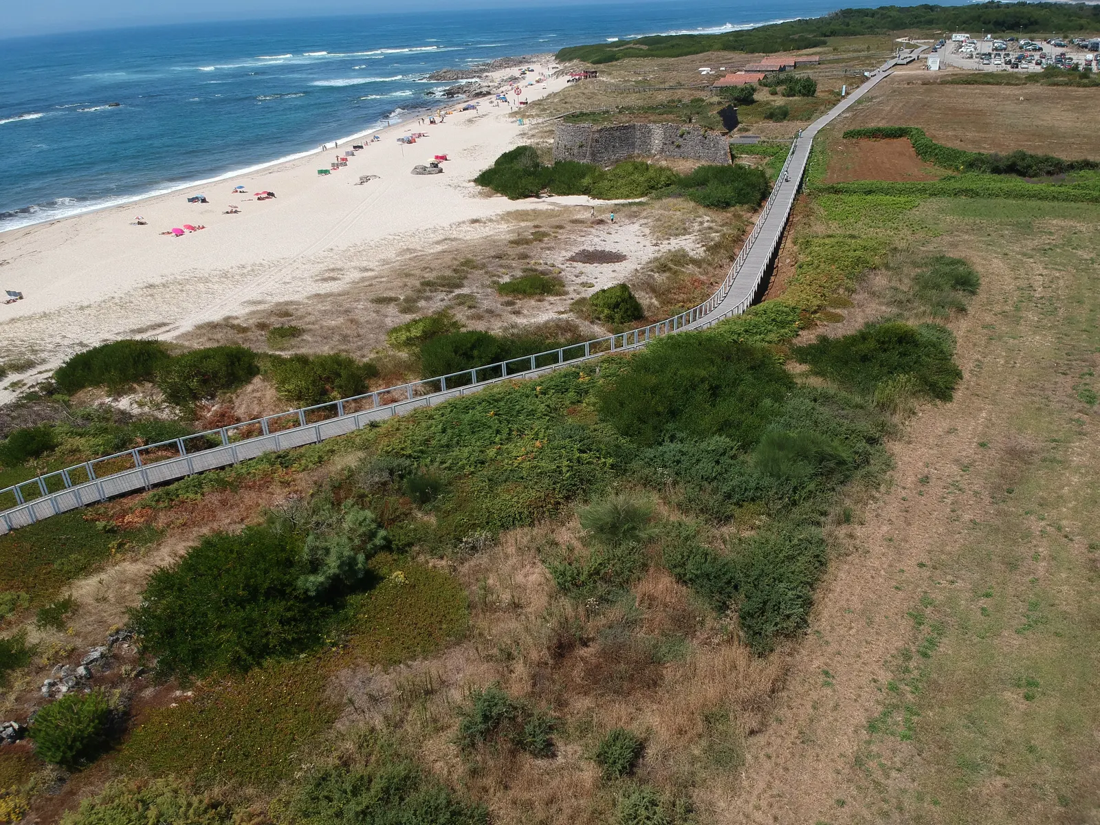
Look for boardwalks, steps, toilets and assistance, and the distance from parking to sand. There are separate guides for visiting with children and accessibility. A wide stretch of sand alone does not make a beach good for children.
Getting back and meals
Transport lists the last service. If you stay for dinner, have an alternative to the bus. For lunch, there is a listing for Foz Caffe at Cabedelo and Casa Mariana in Afife.
Using the map
Select a name or use the list. Each beach shows its information source and consultation date. The coastline is schematic: it is not for navigation and does not show a continuous walking route.